
Finding the right drone service provider isn’t about who has the fanciest equipment. It’s about finding a partner who understands your goals and delivers the outcome you actually need — whether that’s raw data, actionable insights, or something in between. You need aerial data for your next project. Maybe it’s a cell tower inspection, a […]
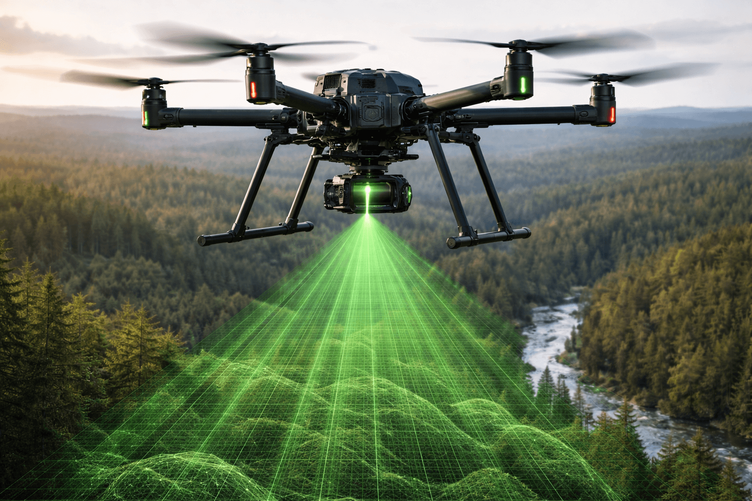
Drone LiDAR Surveying: Faster, More Accurate Data for Every Project
If you’ve ever waited weeks for a traditional land survey to come back — or been surprised by the bill — you already know the frustration. Surveying is essential, but the old way of doing it hasn’t kept up with the pace of modern projects. That’s where drone LiDAR surveying comes in. By combining unmanned […]
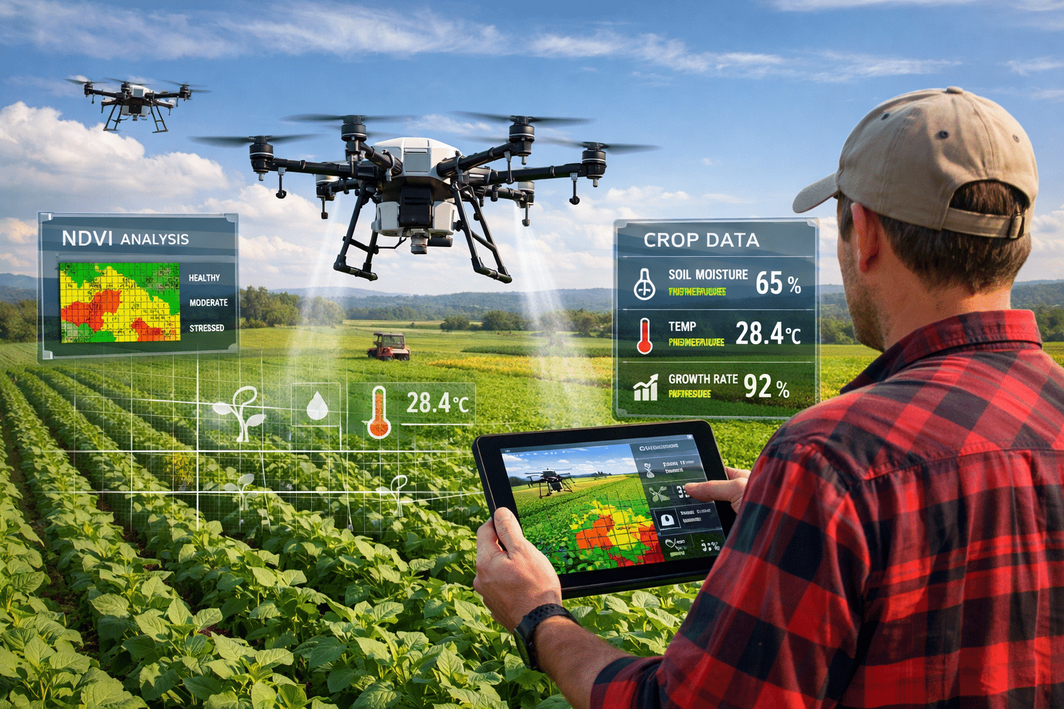
NDVI Crop Monitoring with Drones: Beyond Pretty Pictures
NDVI crop monitoring with drones has changed how farmers manage their fields. We’ve scanned more than 4 million acres of agricultural land across the Midwest and Great Plains through our agriculture drone services. Every project starts with the same question: “Can you fly our fields and tell us which areas have problems?” The short answer […]