

Cell towers are everywhere — over 400,000 across the United States — and every one of them needs regular inspection. Structural integrity checks, equipment audits, antenna alignment verification, damage assessments after storms. It all has to get done, and traditionally that means sending a climber up 200+ feet with a camera and a clipboard. Tower […]
Outcomes, Not Drones: What Actually Matters in a Drone Service Provider
Finding the right drone service provider isn’t about who has the fanciest equipment. It’s about finding a partner who understands your goals and delivers the outcome you actually need — whether that’s raw data, actionable insights, or something in between. You need aerial data for your next project. Maybe it’s a cell tower inspection, a […]
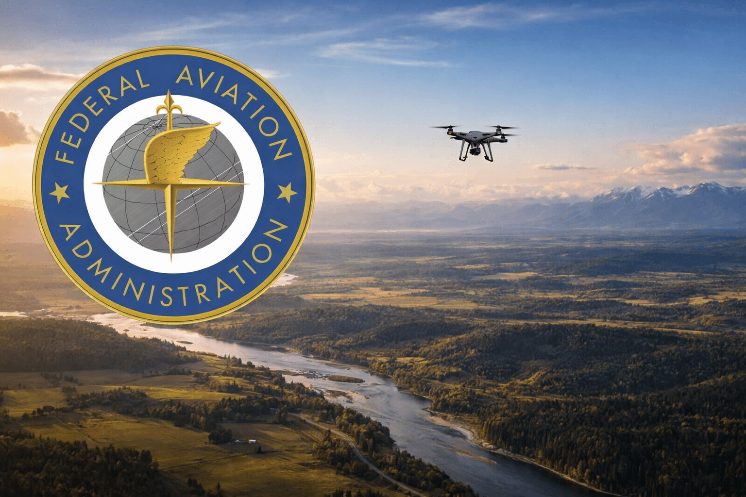
FAA Part 108 and BVLOS: What the New Drone Rules Mean for Your Business
If you’ve been following the commercial drone industry, you’ve probably heard the buzz around three letters: BVLOS. Beyond Visual Line of Sight. It’s the single biggest regulatory shift in commercial drone operations since Part 107 launched in 2016 — and it’s happening right now in 2026. The FAA’s proposed Part 108 rule is set to […]
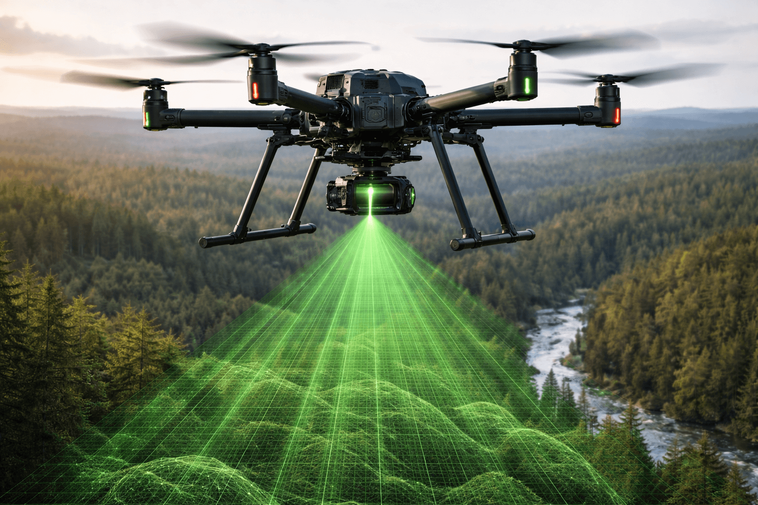
Drone LiDAR Surveying: Faster, More Accurate Data for Every Project
If you’ve ever waited weeks for a traditional land survey to come back — or been surprised by the bill — you already know the frustration. Surveying is essential, but the old way of doing it hasn’t kept up with the pace of modern projects. That’s where drone LiDAR surveying comes in. By combining unmanned […]

How AI Is Actually Being Used in the Drone Industry
AI in the drone industry gets a lot of attention, but most of what you read sounds like science fiction. Here’s what’s actually happening on real job sites right now — and where it’s headed. We’ve been in the drone services business long enough to watch AI go from a marketing buzzword to something that […]
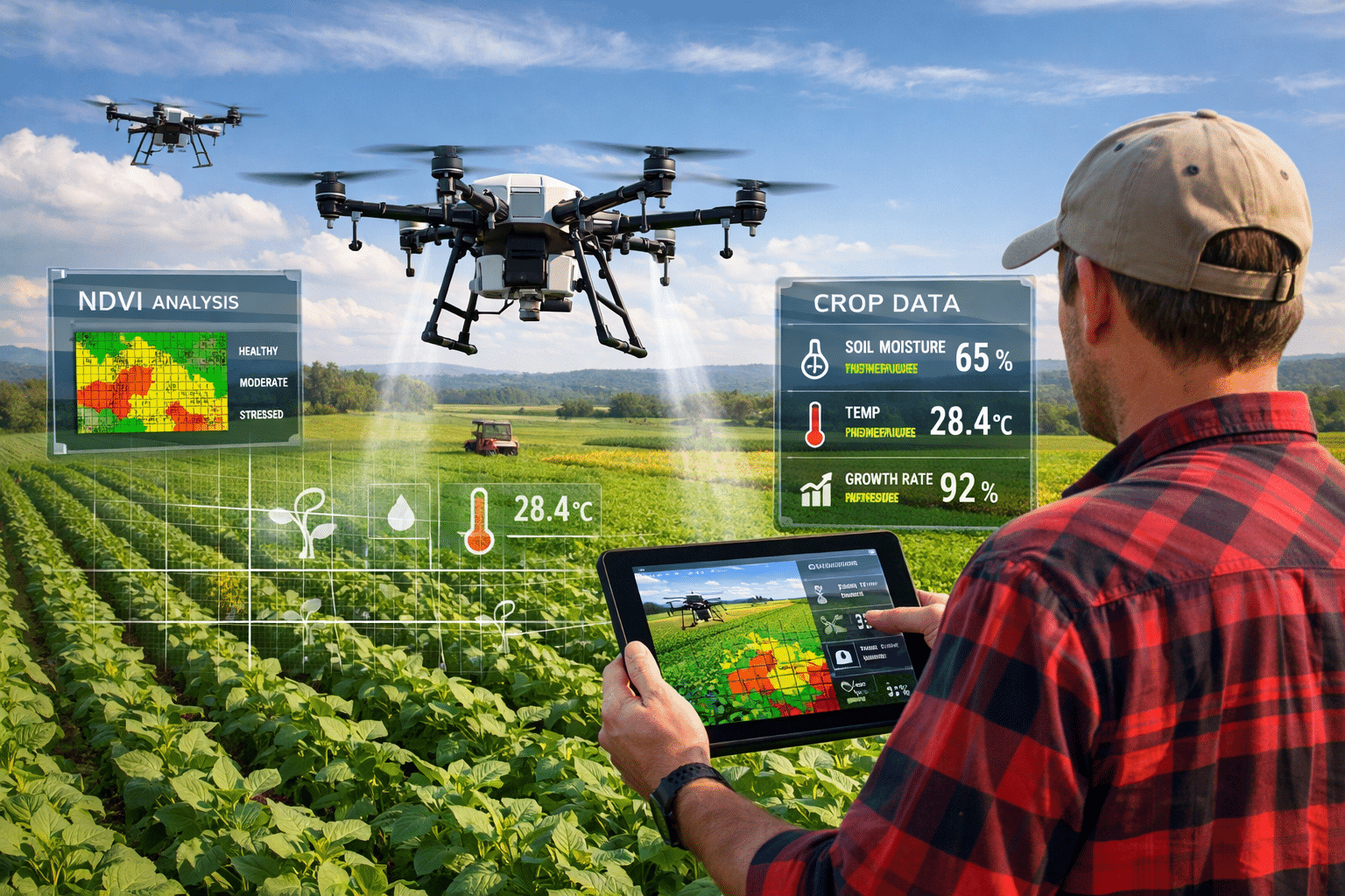
NDVI Crop Monitoring with Drones: Beyond Pretty Pictures
NDVI crop monitoring with drones has changed how farmers manage their fields. We’ve scanned more than 4 million acres of agricultural land across the Midwest and Great Plains through our agriculture drone services. Every project starts with the same question: “Can you fly our fields and tell us which areas have problems?” The short answer […]
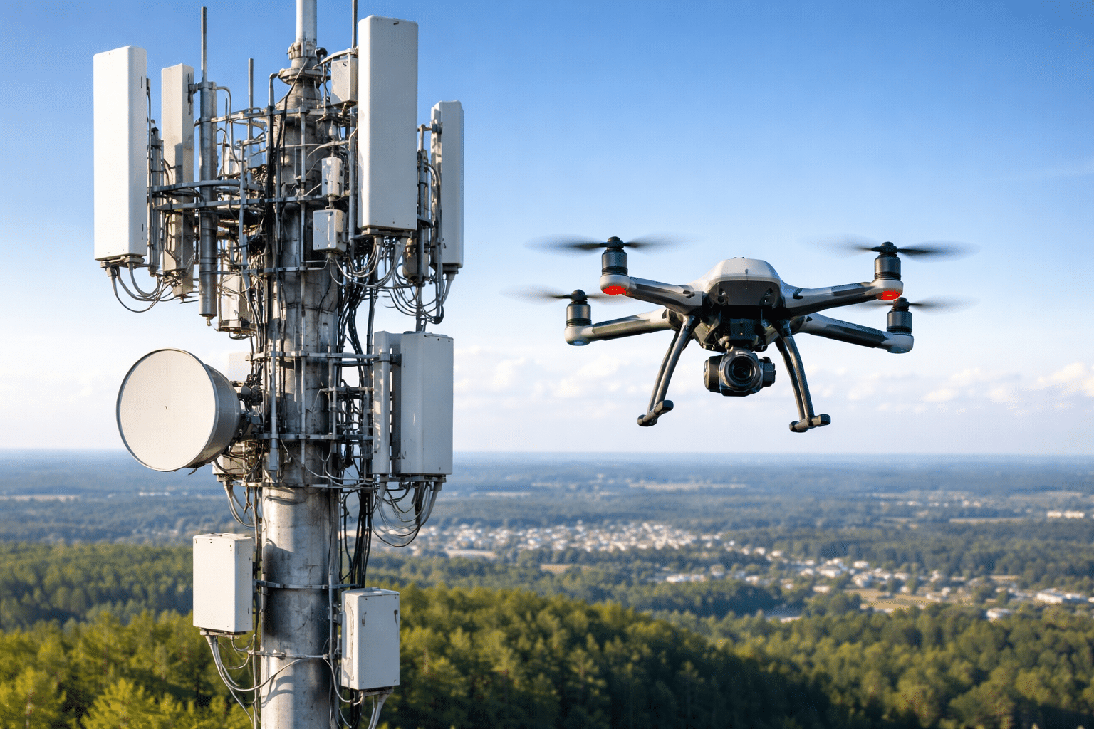
How Drone Cell Tower Inspection Works: A Technical Walkthrough
We’ve inspected thousands of cell towers across the United States as part of our telecom survey services, from guyed towers in rural Oklahoma to rooftop installations in downtown Chicago. The process looks simple from the ground—fly a drone around a tower and take pictures—but effective tower inspections require systematic planning, precise execution, and detailed documentation […]
Drone Inspection Cost vs Traditional Methods: Real Numbers from 10,000+ Inspections
Drone inspection cost vs traditional methods is the first question most companies ask when evaluating the switch. After completing more than 10,000 inspections across the United States, we’ve collected substantial cost data. The numbers tell a clear story.. Cell Tower Inspection Costs Traditional climber inspection: $800-$1,500 per towerDrone inspection: $350-$600 per tower A two-person crew […]