

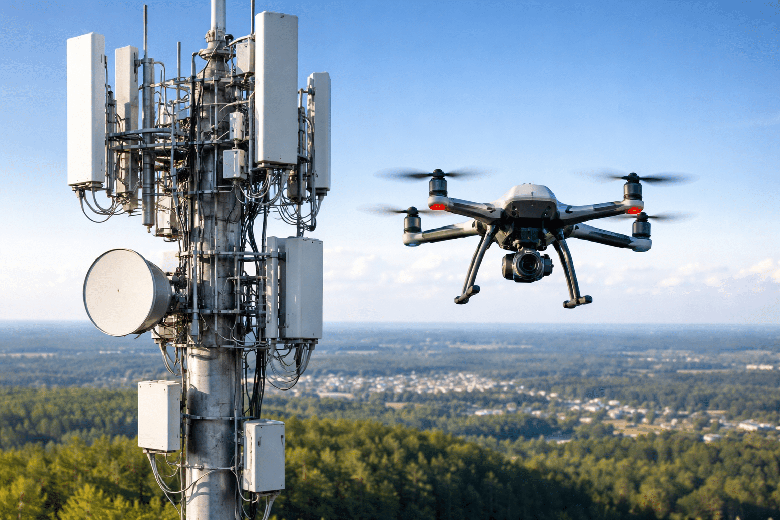
Cell towers are everywhere — over 400,000 across the United States — and every one of them needs regular inspection. Structural integrity checks, equipment audits, antenna alignment verification, damage assessments after storms. It all has to get done, and traditionally that means sending a climber up 200+ feet with a camera and a clipboard. Tower […]
FAA Part 108 and BVLOS: What the New Drone Rules Mean for Your Business
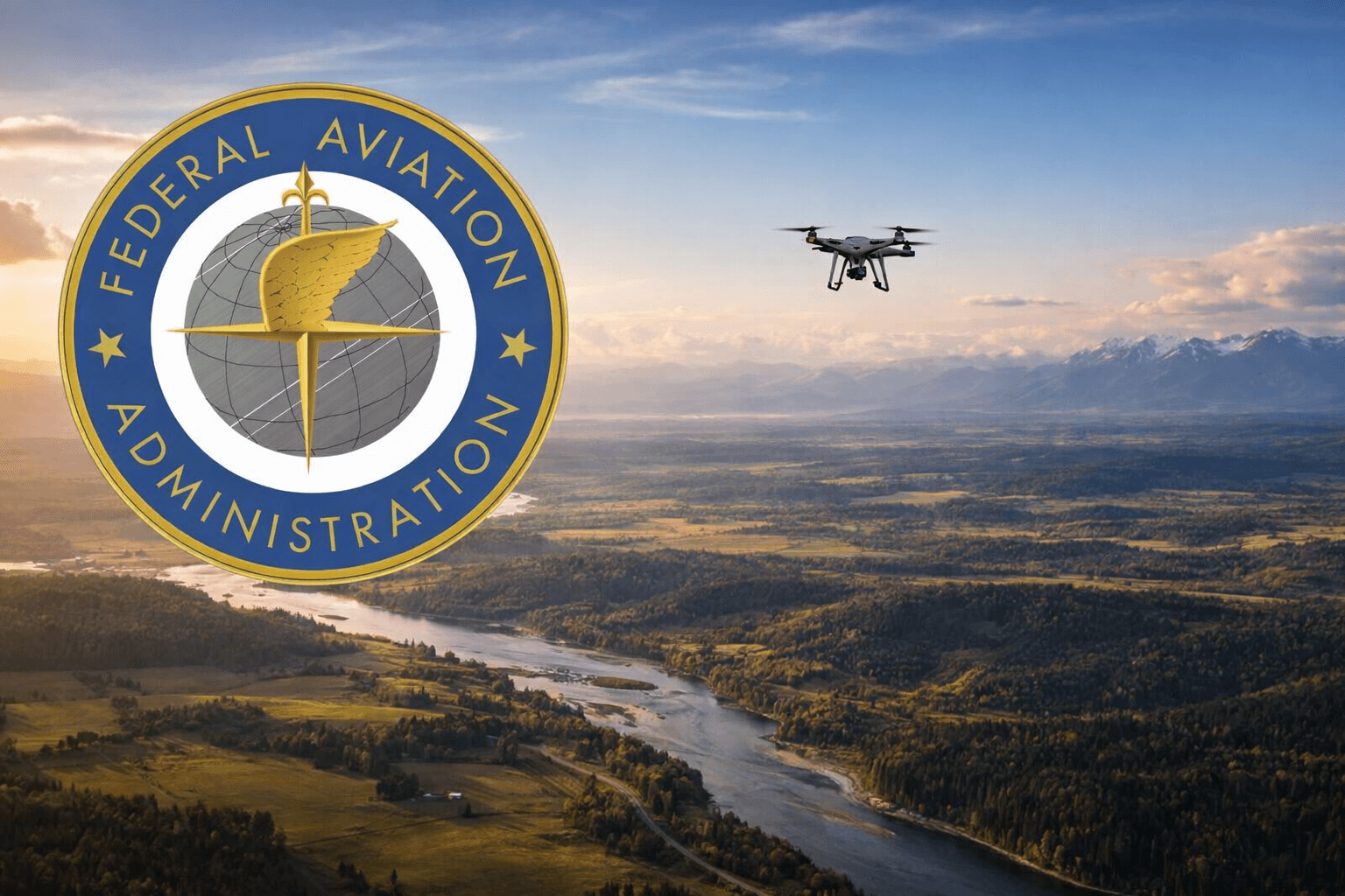
If you’ve been following the commercial drone industry, you’ve probably heard the buzz around three letters: BVLOS. Beyond Visual Line of Sight. It’s the single biggest regulatory shift in commercial drone operations since Part 107 launched in 2016 — and it’s happening right now in 2026. The FAA’s proposed Part 108 rule is set to […]
Drone LiDAR Surveying: Faster, More Accurate Data for Every Project
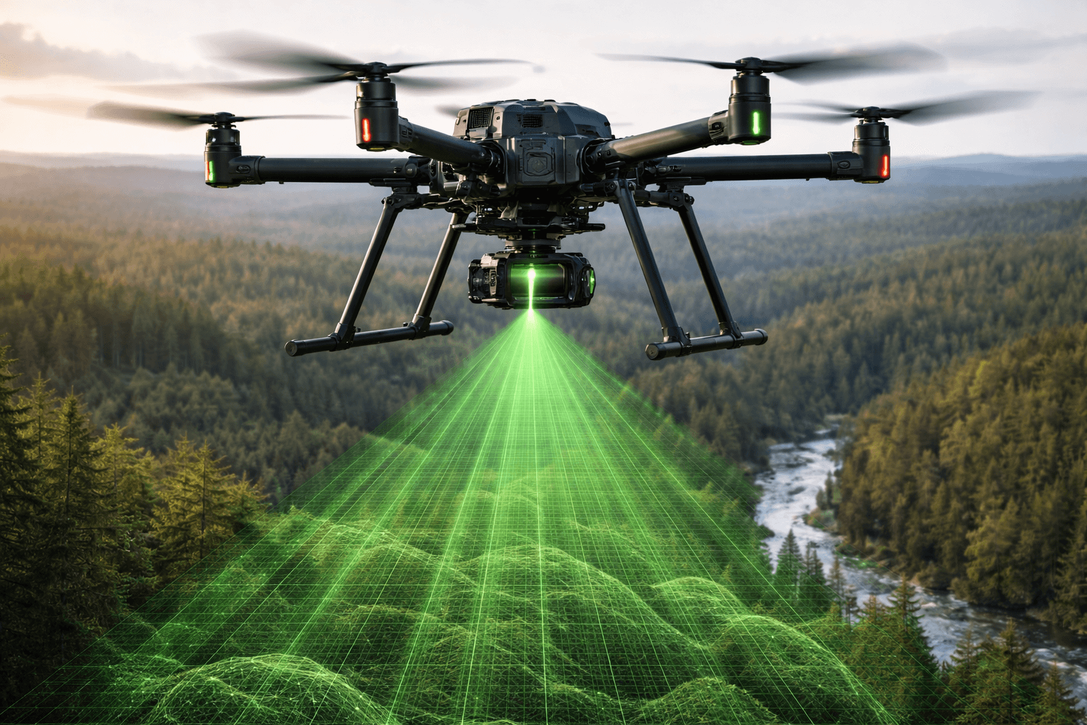
If you’ve ever waited weeks for a traditional land survey to come back — or been surprised by the bill — you already know the frustration. Surveying is essential, but the old way of doing it hasn’t kept up with the pace of modern projects. That’s where drone LiDAR surveying comes in. By combining unmanned […]
How Drone Cell Tower Inspection Works: A Technical Walkthrough
We’ve inspected thousands of cell towers across the United States as part of our telecom survey services, from guyed towers in rural Oklahoma to rooftop installations in downtown Chicago. The process looks simple from the ground—fly a drone around a tower and take pictures—but effective tower inspections require systematic planning, precise execution, and detailed documentation […]