If you’ve ever waited weeks for a traditional land survey to come back — or been surprised by the bill — you already know the frustration. Surveying is essential, but the old way of doing it hasn’t kept up with the pace of modern projects.
That’s where drone LiDAR surveying comes in. By combining unmanned aircraft with advanced laser scanning technology, aerial LiDAR delivers survey-grade data in a fraction of the time and cost of conventional methods. And it’s not just faster — it’s often more accurate and far more detailed.
At Aero Deploy UAV, we’ve been providing professional drone services out of Kansas City since 2012. We’ve watched LiDAR mapping go from a niche technology to one of the most requested services we offer. Here’s what you need to know about it.
What Is Drone LiDAR?
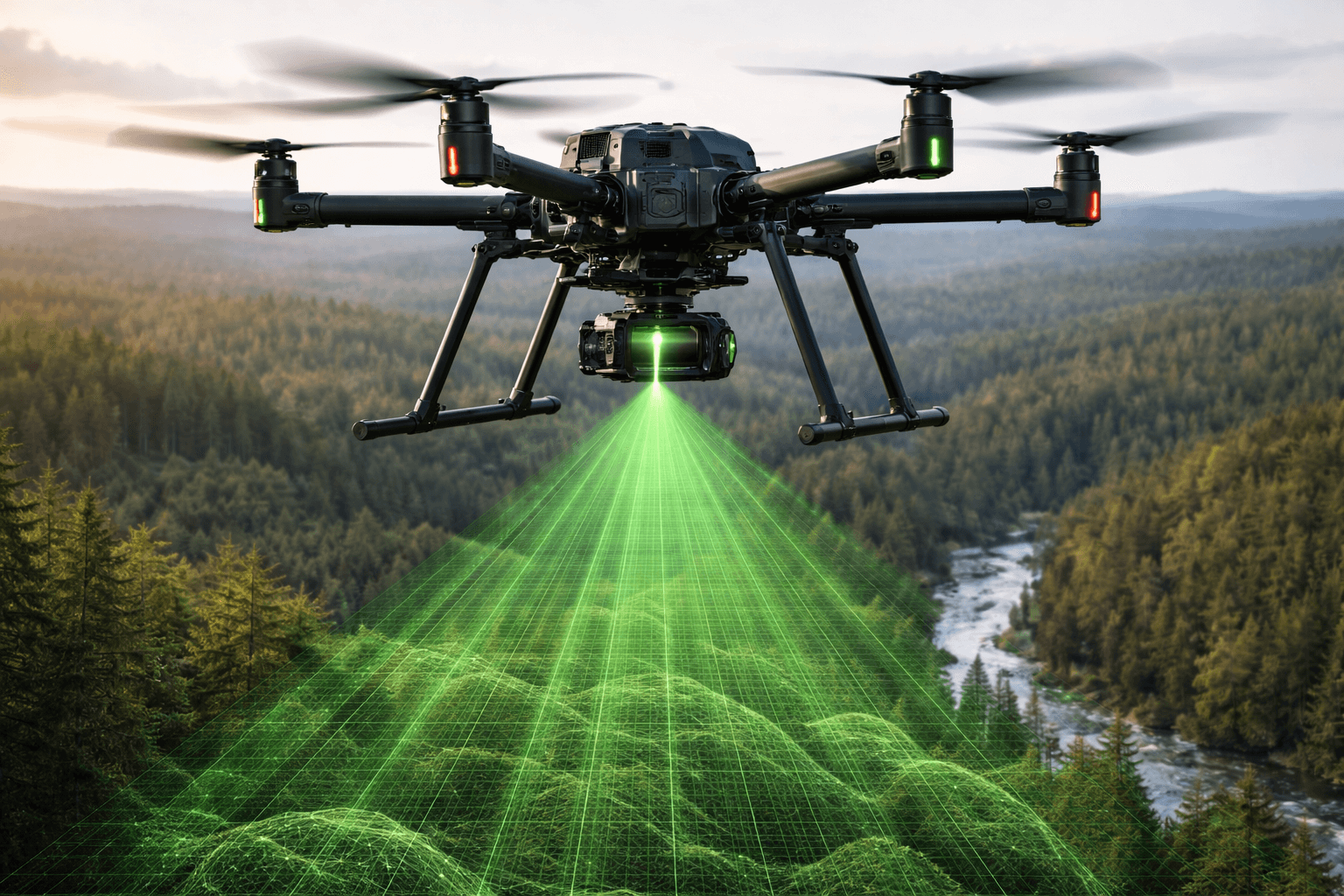
LiDAR stands for Light Detection and Ranging. It works by firing rapid pulses of laser light toward the ground and measuring how long each pulse takes to bounce back. The result is a dense cloud of 3D data points — often millions per acre — that maps the terrain, structures, and vegetation below with remarkable precision.
When you mount a LiDAR sensor on a drone, you get the best of both worlds: the pinpoint accuracy of laser scanning and the speed and flexibility of aerial data collection. A single drone flight can capture what would take a ground crew days or even weeks to survey on foot.
How Drone LiDAR Surveying Works
The process is straightforward, even though the technology behind it is anything but simple:
- Flight planning: We design a precise flight path based on your project area, terrain, and data requirements. Every mission is planned to maximize coverage and point density.
- Data capture: The drone flies the planned route, firing thousands of laser pulses per second. An onboard GPS and inertial measurement unit (IMU) record the aircraft’s exact position and orientation at all times.
- Processing: After the flight, the raw data is processed into a georeferenced point cloud — a detailed 3D model of the surveyed area. From there, we can generate digital elevation models, contour maps, volumetric calculations, and more.
- Deliverables: You receive the data products your project requires, whether that’s a topographic surface model, a vegetation canopy analysis, or a precise volumetric report.
The entire process — from flight to finished deliverables — typically takes days rather than weeks.
Industries and Use Cases
Drone LiDAR surveying isn’t a one-trick solution. It’s being used across a wide range of industries, and the applications keep growing.
Agriculture and Drainage Planning
Farmers and landowners use LiDAR mapping to understand their terrain at a level that simply isn’t possible with traditional surveys. With sub-inch vertical accuracy, LiDAR data reveals subtle elevation changes that affect water flow and drainage. That information is critical for designing tile drainage systems, identifying low spots prone to ponding, and optimizing field grading — all of which directly impact crop yields and land value.
Construction and Site Development
Construction teams rely on accurate topographic data from day one. Drone LiDAR delivers detailed site surveys that support grading plans, cut-and-fill calculations, and progress monitoring throughout a project. Compared to traditional ground surveys, aerial LiDAR can cover a 100-acre site in under an hour with accuracy within 1–2 centimeters vertically.
Telecommunications
Cell tower inspections and corridor mapping are a natural fit for drone LiDAR. Tower sites often sit in difficult terrain, and sending a crew with traditional equipment is time-consuming and expensive. A drone can capture the full site — tower, access roads, surrounding vegetation, and terrain — in a single flight, providing the data needed for planning, permitting, and maintenance.
Infrastructure and Transportation
Roads, bridges, pipelines, and utility corridors all benefit from the speed and detail of LiDAR mapping. Transportation planners use drone-collected LiDAR to assess existing conditions, model proposed alignments, and monitor construction progress. The ability to penetrate vegetation canopy is especially valuable along overgrown corridors where ground-based surveys struggle.
Mining and Volumetric Analysis
Stockpile measurement is one of the most straightforward and high-value applications of drone LiDAR. Traditional volumetric surveys of quarries and material yards might take a full day with a ground crew. A drone can capture the same data in 20–30 minutes with accuracy within 1–2% of actual volume — and the results are repeatable, so you can track material changes over time with confidence.
Advantages Over Traditional Surveying
Traditional surveying methods still have their place, but drone LiDAR offers several clear advantages for the right projects:
- Speed: What takes a ground crew days can often be captured in a single flight session. A typical 200-acre survey might take 45 minutes of flight time versus several days of fieldwork.
- Cost savings: Fewer crew hours, less equipment, and faster turnaround translate to lower project costs — often 30–60% less than traditional methods for large or complex sites.
- Density of data: A LiDAR point cloud can contain hundreds of points per square meter. Traditional surveys capture a fraction of that detail, leaving gaps that require interpolation.
- Safety: Drones eliminate the need to send people into hazardous environments — steep slopes, active construction zones, unstable terrain, or areas near heavy equipment and traffic.
- Vegetation penetration: Unlike photogrammetry (camera-based mapping), LiDAR pulses can pass through tree canopy and vegetation to capture the bare earth surface beneath. This is a game-changer for wooded or overgrown sites.
- Repeatability: Drone flights can be repeated on a regular schedule — weekly, monthly, or quarterly — to track changes over time with consistent accuracy.
When Should You Consider Drone LiDAR?
Drone LiDAR surveying makes the most sense when your project involves one or more of the following:
- Large areas (10+ acres) where ground surveying would be slow and expensive
- Sites with heavy vegetation where you need bare-earth elevation data
- Tight timelines that don’t allow for weeks of traditional fieldwork
- Recurring surveys for progress monitoring or inventory tracking
- Difficult or dangerous terrain where crew safety is a concern
- Projects requiring high-density 3D data beyond what GPS or total station surveys provide
If your project doesn’t fit neatly into one of these categories, it might still be a good candidate. The best way to find out is to have a conversation about your specific needs and goals.
Work With a Team That Knows the Technology
Drone LiDAR is powerful, but the quality of the results depends entirely on the team behind the sensor. Flight planning, data processing, and deliverable generation all require experience and attention to detail. A poorly planned flight or sloppy data processing can undermine the accuracy that makes LiDAR valuable in the first place.
Aero Deploy UAV has been providing professional drone services since 2012. We’re FAA Part 107 certified, fully insured, and experienced across agriculture, construction, telecom, and infrastructure projects throughout the United States.
If you’re planning a project that could benefit from drone LiDAR surveying, we’d like to hear about it. Reach out to us for a no-obligation conversation about your project, and we’ll help you figure out if aerial LiDAR is the right fit.